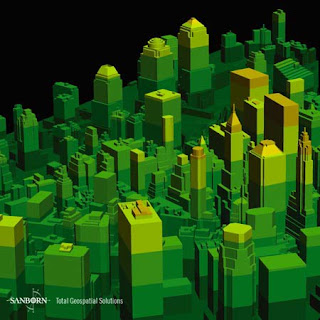
DEMs (digital elevation models) are digital files consisting of terrain elevations for ground positions at regularly spaced horizontal intervals. DEMs are in raster format, the cartographic data is recorded, stored, and processed in a cell, or pixel.
This is a DEM of New York City, NY on November 12, 2003.
http://www.sanborn.com/products/dems.asp

No comments:
Post a Comment